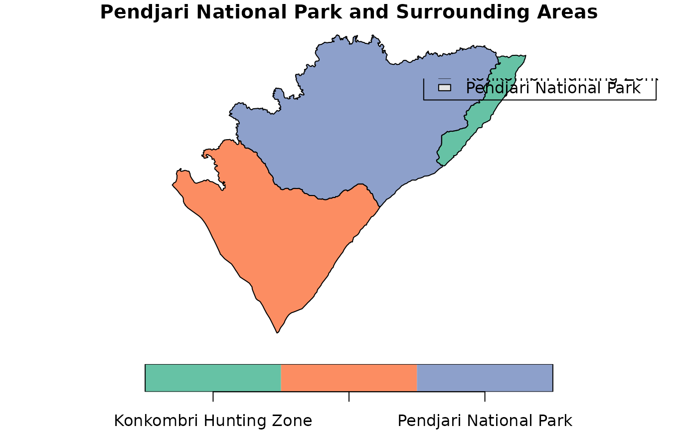
A dataset containing spatial boundaries of Pendjari National Park and its surrounding hunting zones in Benin.
A tibble with 3 rows and 2 columns:
NOM: The name of the protected area or hunting zone.
geometry: The spatial geometry of the area, stored in decimal degrees (EPSG:4326).
Examples
# Load the dataset
data("pendjari")

# Plot the data
library(sf)
#> Linking to GEOS 3.12.1, GDAL 3.8.4, PROJ 9.4.0; sf_use_s2() is TRUE
plot(pendjari, main = "Pendjari National Park and Surrounding Areas")
legend("topright", legend = pendjari$NAME, fill = c("gray10", "gray50", "gray90"))